Showing posts with label Bagger Challenge. Show all posts

Wednesday, 8 July 2015

Brown Dude Almost Died in the Smoky Mountains

Last Sunday did not go as I thought it would, I had a late start and I decided to do a out, loop & back to Skyline Drive. As I was getting into North Van the sky looked like the world was ending and I should of taken that a sign of how the day would go.

My view in the morning, yikes...
From Skyline, took my "favorite" section of the Baden Powell to Grouse and down Nancy Green Way to Cleveland Dam. Supposedly I was spotted by Sean but I did see him. I did good for time all the way there and refilled my water bottles, I am packing just under 4L of water. I assumed that would be enough. But you know what happens when you assume, you make an ass out of yourself. :)
 
My smoky view of the Lions from Cleveland Dam
Capilano Reservoir, looking really low
More evidence of our water shortage
Brother's Creek, more like Brother's Trickle
A sad sight
The climb up to Hollyburn Mountain was fine and I made it to the peak within 4 hours from Skyline. Nothing much exciting happen, I did run into a couple from England that we getting ready for the Knee Knacker. This is where I should of turned around and just went back to the car, but no I had to bag Strachan also. So I proceeded down the trail marked dangerous.

View from Hollyburn
Sometimes you should just take advice from a sign
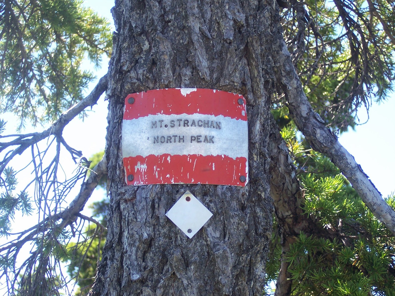
I made a few wrong turns but nothing that took me out of my way more then a couple meters. By the time I got to the plane wreckage I had to sit down to rest, after eating and drinking I felt good again and slowly made my way to the south peak. Now I don't know which peak is actually in the bagger challenge but like last year I was determined to bag both the south and north peaks of Strachan.
Plane Wreckage
View from Strachan
Once again I had to rest in the shade on the north peak, but I felt really good afterwards and figured that it would be a quick bomb down Christmas Gully to the Howe Sound Crest Trail. On the way down I ran into some hikers that we out of water and I shared some of my what with them. I did tell them to head back but I think they continued on. I hope they were okay.

As I made my way down to HSCT, I started feeling bad, like really bad and finally slipped. This was the last straw for me, as soon as I had cell service I had to call the rescue vehicle to come get me at Cypress. 

Minor Cut


Lucky I had help coming because by the time I was at Cypress, I was hurting badly and over heating. On the ground the throwing up, I really nice couple helped me out while I waited for my parents to come get me. Sometimes you have to call it quits before you actually die.

Not to bad after it was all cleaned up
So another failed day at any real distance, that got me thinking with only 40ish days till Squamish, I am in real trouble. I think I'll have to do less bagging, which I am not really doing all the well in and more runnable trails with some elevation. Possibly loops to allow for an aid station for food and water so I don't have to carry as much. 

So with that in mind, I decided to end my day with some yummy food from My Greek Taverna and my special brew. For those of you have never tried my special brew it's amazing. And thanks Sean for checking to make sure I was alive. :)
My meal to make myself feel better
Meal done

Thursday, 7 August 2014

Back at Top 10 & Three 300k back to back to back Months

Recently I fell off the top ten list of the Bagger Challenge, so before I taper before my race I decided to climb back up in the list as well as tackle some training in. 


Last Wednesday morning I woke up and headed towards Grouse mountain, to bag Hollyburn and Strachan, and yes, I know Grouse is not really near either of those peaks. I was meeting up with Holly at the Cypress cross country area and I was already running late due to an accident on the highway (I hope every one was okay). I started my way down the hill towards Cleveland Dam to hop on to the Baden Powell towards Cypress. I did my usual run/walk all the way to Brother's Creek, checking out the scenery and as I approached Brothers Creek, when I received a text message from Holly. She was already at Cypress, I knew I had to really pick it up so she wouldn't have to wait. I climbed as fast as I could and shortly after I was in the cross country area I saw Holly making her way down to meet me. 

As we headed up the mountain, we came across a deer checking us out. She was beautiful and wasn't even scared off by us approaching. I'd say we were within 30 metres of her. As we made our way towards Hollyburn Mountain, we came along a grouse walking on trail. At this point I was wondering what other wildlife we might run into.

A friendly deer checking us out
Green, easy way to hind in the bushes
The day was hot, lucky there was a lot of tree cover most of the way up to help keep us cool and in the shade.  As we approached the top the tree cover opened up and could feel the hot sun coming down on us. At the top, we meet a couple that came up from the north west side of the mountain and were able to get some information about the trail, since we were going to go Strachan through the valley between Hollyburn and Strachan. 

View of Black Mountain from Hollyburn Mountain

Looking North on Hollyburn

The hike through the valley was beautiful with some amazing views. On the way up, we were treated to a plane crash from 1963. The wreckage was cool to check out but sad that two crew members from the air force died in that crash. 

Plane wreckage

As we made our way up, we were blessed with more awesome views that gave us a preview of what was to come. Once we made it to the top of the peak chair offloading area we knew we were close to the south summit of Strachan.

We took a short break at the south peak and took in the views. Holly by this time was a little tired, I had to convince her that it was worth it to go towards north peak. Lucky for me I made a pretty good estimate of how long it would take. It was a short 20 minutes to the north peak where we had a well deserved break to take in the sites and refuel.


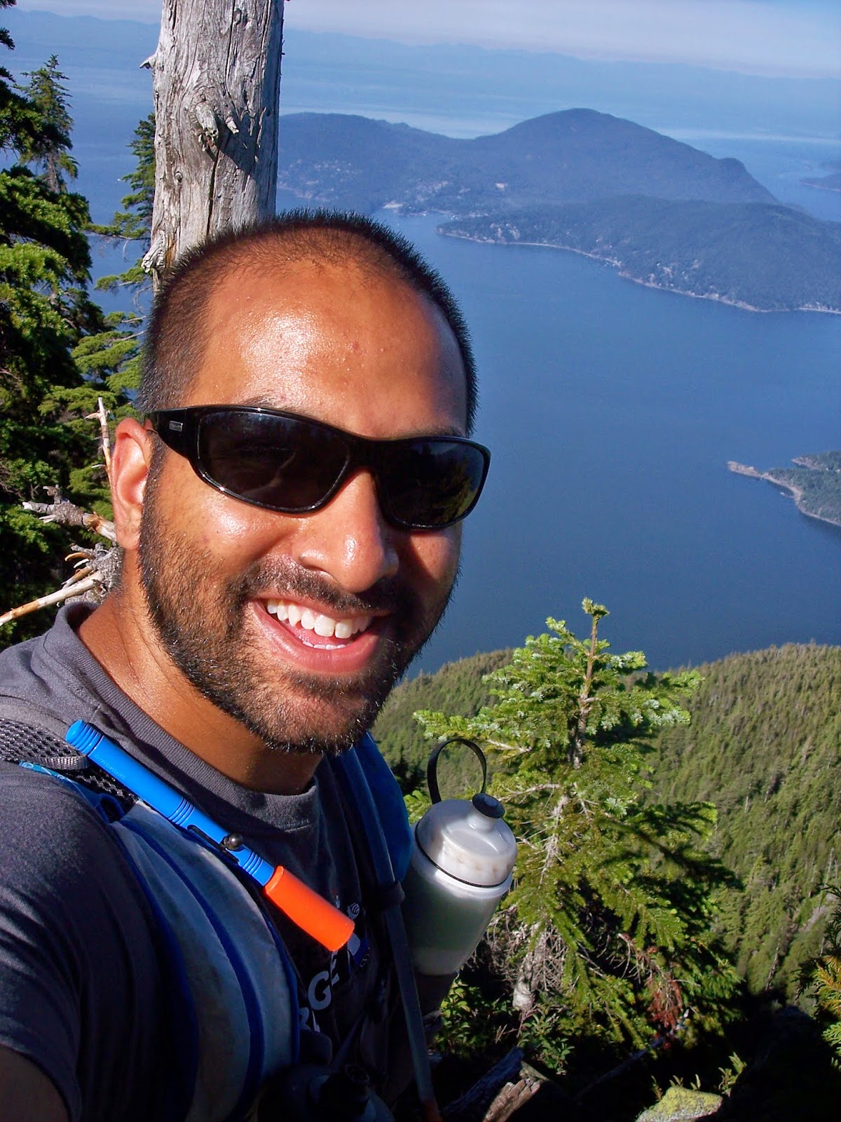
View of Howe Sound
On the way back we decided to take a different way back, we went down Christmas Gully. I thought this was a good decision because we had some amazing views and it was nice to have a different way back. As we were reaching the Howe Sound Crest Trail, I noticed a group of 3 hikers. I waved hello to them and their little dog. As Holly and I got on to the HSCT we noticed that we could catch up and pass the hikers, it took a little bit of effort but we were able to pass them. As a reward for ourselves we stopped off at the Raven for some ice cream and cold liquids. By this time I wore Holly out so we took the road back to the cross country parking lot before I headed back to my car near Grouse.

Christmas Gully

Mt Baker with the new Port Mann Bridge
After getting home, I calculated out my distance travelled, I was still short of my 300k target for the month and had to make sure I did a minimum of 26k to make my target. Lucky for me there was still one more day left in the month.

Thursday morning, I started my day just after eight at Mountain Hwy. Instantly I knew my legs were still tired from the previous day so I took it easy along the Baden Powell trail to Grouse. I ran into a few other hikers and made some small talk before heading on my way. At the bottom of the BCMC I was asking myself why did I decided to do this today, but I marched up the hill with a decent pace until the half way point were a slowed down considerably and who do I see coming down hill but fellow bagger Andy, he was in 10th place and just finished bagging Crown. We chatted about our upcoming races. He's doing the Squamish 50/50 and to be honest, I'm a little jealous because it seems like a awesome challenge.
As I got to the top of BCMC, my legs and feet were hurting and I just wanted the day to end. I mustered up the strength to jog the down hill towards the trailhead for Fromme. This was the fastest I was moving all day and I was feeling good about it. I got to the trailhead and found it without any issues this time, this was my third attempt at Fromme so I couldn't turn back now. I slowly made my way to top through the beautiful forest. I was so tired at the top that I refuelled as quick as possible and headed back. As I got back to Mountain Hwy, I jogged most of the way back and felt a sense of relief to end my day. 

Smiley face coming down from Fromme
As of today I'm holding on to spot #8 on the Bagger Challenge, but I don't think that will last long and also I hit my target of 300k for the month of July.

Last 3 Months of Training:
May --> 298k
June --> 303k
July --> 300k

Time to just take care of nutrition, rest up and be ready for my race. As I'm writing this it is only 8 sleeps away. I wish everyone who is racing the weekend of August 16th, good luck and be safe.

Monday, 28 July 2014

Why is South Needle called the South Needle?

Today I learned why the Needles are called the Needles but I'll come back to that later. Let's start at the beginning, I woke up around six and got my stuff together and headed out to have the breakfast of champions, McDonalds. After breakfast it was over to Mountain Hwy. I made my way along the 1km stretch of the Baden Powell to Lynn Headwaters, half way to the headwaters entrance I had a call from nature and it was an emergency. I really didn't feel like squatting this early in the day so I hustled by ass to the headwaters and got to use one of the luxury outhouses. Hey anytime you don't have to go in the forest is a luxury. :)

Shortly after Sean and Nanik were at the first overflow lot getting ready for the day ahead. We had an ambitious plan, of both Lynn peaks and all three Needles. The day started off great with a gentle run/hike up towards south Lynn and shortly after hitting up Lynn summit. I'm becoming somewhat of a re-bagging expert, I bagged these two peaks just over a week ago. Too bad multiple bags don't count in the Bagger Challenge. 
View from South Lynn

Lynn Peak
After this point it when things became interesting, to say there was a lot of descending and ascending is a bit of an understatement. As we were going down the north side of Lynn peak the drop was steep and fast, with a lot of runnable sections. I even slipped and landed on my butt while navigating over a large mossy log, Nanik got a good laugh out of that. As we continued on a short while later I tripped over a tree root and landed face first in the dirt, luckily the ground was soft and I was able to bounce back like nothing happened.

After going up and down for a short period of time, we reached the bottom of the valley and looked the hill was an almost vertical climb up (okay I might be exaggerating just a little but it was steep). We took our time with the climb and got to a marking on a tree that said middle point. We were a little confused since we thought that might of been the Middle Needle but weren't sure, felt like it was too quick from Lynn plus what happened to South Needle? Later we realized that it must of been the half way point to South Needle. We pressed on and in the clearing we saw what we had to climb, it was a beast of the mountain that looked like it was another vertical climb. But of course it's never that easy first we had to go down into another valley. 

Nanik looking down towards the trail at the middle point
The climb up was amazing through the forest, nice a cool and we didn't have to worry about the heat until the peak. As we approached the peak, we were blessed with some amazing views of the city, Seymour area, Haynes Valley and the Grouse area. If we had some binoculars we might of even seen some fellow baggers in the Grouse area. As we reached the top we ran into a couple that got there via Lower Seymour Conservation Reserve. After refueling at the top, we starting looking for a way towards the Middle Needle. There was the option of just going straight off the cliff and tumble down but we decided that might not be the best option. Sean was able to get cell service and was looking online for how to continue onwards. Since there wasn't a lot of information about it we had put our tails between our legs and turn around.
View of Grouse Mountain area

South East view from a lookout just before the peak

South View looking towards Lynn Peak and the city
Me just smiling
Seymour area with Mt. Baker in the background


Middle Needle
Since our plans when sideways, Sean and I decided we should just go on an adventure and we decided to go towards Seymour River. Nanik was very excited about the fact she was going to be able to play in the water. The downhill was steep going down. There was another event of me landing on my butt, at least no injuries and just laughs. As we approached the river there were some really nice runnable section that we were able to make up some time. Headed over to Fisherman's trail and finally to the river.


We ran/walked most of the way back to Sean's car along Fisherman's trail and then up towards the gazebo at the entrance of LSCR.  The run back to Sean's car was tiring, I realized I didn't keep the calories coming in and was stating to bonk. I was okay until I had my trek back to my car. The climb up towards Mountain Hwy took a toll on me and I had to slow down significantly. I even sat down for a minute to give my tired legs a rest. Once I made it to Mountain Hwy, I stopped off at the water tap and had some cold refreshing water. That really hit the spot, and slowly jogged to the car. It was another epic day but with the lack of energy all I wanted to do was take a nap.

So why is the Needles called the Needles? Simple answer, it's like going up a needle with steep slops and a pointed top. Doing some research, on how to summit the North & Middle Needle, it seems the Middle Needle has the best view. Now that will be an adventure for another day.

The elevation profile does not do the climb justice


Monday, 14 July 2014

Early morning cooking, bagging peaks & walking on the edge

On Sunday morning, as the most of the city was asleep I decided to wake up and do some cooking before going out for my hike. I love early morning, so I set my alarm for 3:30AM, but as usual the voices inside my head were telling me too early, too dark to be up this early, so I slept in till 4 before starting my day, there was some light towards the east. First on the agenda was to prep food for the week so I have tasty meals and a hardy breakfast. This morning's menu: spicy chicken & veggie stir-fry in peanut sauce and some BBQ chicken for sandwiches.

Breakfast of Champions, Spicy Chicken & Veggies in Peanut Sauce

The base to my amazing chicken, bacon, spinach & cheese sandwiches for the day's hike

Once breakfast was cooked up, I packaged up meals for the early part of the week and started getting ready for the long day ahead. I went through the checklist to make sure I wasn't missing anything: 2L water bladder, 2 x 500mL water bottles with electrolyte tablets (lemon-lime for the day), first-aid kit, wet wipes (just in case nature calls), gloves, headlamp (you never know), compass, trekking poles, camera, dates, Ritz peanut butter sandwiches, Toblerone & BBQ chicken, bacon, cheese and spinach sandwiches (yummy). Oh can't forget the cooler with some watermelon & cold water for afterwards.

Loaded up the car and made my way out for the day. I was meeting Sean, Kyndra & Nani at Cypress to do the Howe Sound Crest Trail all the way to the Lions to bag some peaks. We all arrived within minutes of each other and started our way along the Howe Sound Crest Trail.

The beginning of the first climb
The Lions, our turnaround point
The first peak to bag was St. Mark's Summit, about 5.5km from our starting point, with some elevation change, about 460m. The hike up was amazing with quite a few views of Howe Sound and the Lions. Once we were at the summit it was beautiful and we even got to hang out with a raven. Kyndra has a special relationship with ravens.

Me with the view in the background

View of Howe Sound from St. Marks

Nani watching a raven at the top

Sean & Nani just resting

Lucky raven getting part of Kyndra's burrito
From St. Mark's the trail headed over to Mount Unnecessary, I always wanted to climb this peak mostly because of the name. Along the way to Unnecessary we encountered another peak and named it Mezcal Mountain. Once we reached the south summit of Unnecessary there was a slight gully before reaching the north summit. Sean pointed out a couple of small glacier lakes for us to take a dip in for the return leg. Kyndra and Nani were thrilled about the idea of a swim. By now the Lions were looking so close yet so far.

Wondering if it's possible to dive to the ocean

South summit Mount Unnecessary

Nani's chilling out in the snow

Looking south at Indian Arm & Greater Vancouver, from Mount Unnecessary

All smiles, we knew where we were heading
Nani's proof, she was so excited she knocked over the sign
I have made it to the base of West Lions a couple times now (via Lions Bay) and always through you needed rock climbing gear to reach the summit. I was informed by Sean that it is possible to reach the summit without any special gear but you do need to be very careful. So poor Nani would not get to bag the Lions peak. We found a nice shady spot for Sean and Nani to relax while Kyndra and I go bag the peak. We reached the base and a small gully was in our way to get to the top. Kyndra looked down to assess the situation, she said we could probably get down but not sure if we can get back up. Since she felt like it was not doable, I had to agree with her. So we turnaround and headed back to Sean and Nani. 

We almost reached them as we see Sean coming up towards us, saying he's going to summit the peak. He's done the peak before so I followed him up and left the ladies to nap in the shade. We arrived at the gully that Kyndra and I turnaround at and I let Sean lead the way. This little climb down was a good indicator of what was to come. (NOTE: if you think the chimney at Black Tusk is scary, you should not attempt this) After making it down to the small gully we crossed over to the base of the peak and started heading up. I'd recommend having some basic rock climbing skills from this point on or a Sean with you. I followed Sean's path very carefully and slowly. There were sections of “wide” and narrow ledges along the way that we needed to traverse. (I'm using wide very loosely here) We got to what I now call the rope section.

The rope section is just a short 3 to 4 foot section, where there is a loosely hanging rope that goes from one side to another. The rope did not look like it would of been an easy option to go from one side to another. Sean was able to go across with ease so I followed. Finding footings was a challenge and when you look down the drop was so long that you would need to stop screaming while falling and take a deep breath and continue screaming. I have to admit going from left to right was easier but more on that later. Once we were over to the other side there was some much needed shade with a vertical climb up that was a nice change from the death drop. From this point on it was relativity “easy” climb up to the top. There we took in the view before heading back down. Everything was going smoothly until we were at the rope section again. Now going across the other way I had a weird hold and couldn't get my foot around a rock that was sticking out. I had to go back to safety and try again. Sean guided me the whole way across this section without any other issues. We slowly made our way back to the gully, the last climb up to safe ground proved to be challenging for me just to get a good hold on the rocks. Once on safe ground we high-fived each other and ran over to see a sleeping Kyndra and Nani. We all hung out in the shade and refueled for the trek back to Cypress.

Almost at the peak of West Lions, don't look down
Quick picture up the peak
Looking south at Indian Arm & Greater Vancouver, from West Lions
Looking at East Lions and beyond
Looking west at Howe Sound
 By now it was late afternoon and we started bushwhacking through the alpine shrubbery towards the glacier lake. Our first attempt we realized we were no where near the lake and headed towards the north summit of Unnecessary were we back on the trail. Along the way to the south summit we turned off again to finally find our swimming spot. Nani was the first to take advantage of the cool water. Shortly after Kyndra and Sean were in the water going from one end to the other. I slowly waded in up to my shoulders and enjoyed the coldness of the water. I have discovered that not swimming since I was a kid has made going into water a bit of a challenge. After our short dip, we packed up and headed up towards the boulder field that would lead us to the trail. As we climbed up the boulders a helicopter passed directly above us, I think they were checking us out. There were a lot of air traffic all day for some reason. 


As we reached the top of the boulder field we heard a bear bell, guy by himself was heading back to Cypress as well. We wished him a good day and started over the south summit of Unnecessary, shortly after we were already at Mezcal Mountain and heading down the long decent. The downhill seemed endless on our tired legs. Even Nani who was leading the pack at the beginning of the day was now mid to back of the pack. Once we reached the bottom we started our climb up towards St Mark's again. The climb seemed to go relatively quick and as Sean pointed out I was not allowed to complain since my race was in a month (that's a scary thought). 

St Mark's Summit was beautiful in the evening with about an hour and a half to go before we reach the parking lot at Cypress we picked up the pace where we could and even got in a rest break for Nani who was really struggling. During our break a couple of runners passed us, hammering down the hill. Shortly after we got up and started back down. Eventually seeing the runners that passed us earlier. Sean let us know his intent to catch up to the runners. Kyndra and Nani didn't want any part of that. So as Sean took off running I followed. We ran every downhill and flat section, while power hiking the up hill. About 1.5k from the parking lot we caught up to the runners as they turned off towards a lookout. We waited for Kyndra and Nani there for the walk back to the cars. After eleven and a half hours of being on the trails, with scorching hot rocks, cool alpine breezes, little patches of snow to help top off our water and the beautiful views all around we got to the cars and enjoyed some cold watermelon and Buddy Fruits. Thanks Kyndra to introducing me to those delicious treats.